Friday, August 17, 2012

Lake of the Woods to Green Springs Inn

We ended our trip with a 35 mile ride from Lake of the Woods to Greensprings Inn. Pleasant enough scenery although nothing spectacular. Traffic was consistently light. The terrain was rolling with a few butt-kicker climbs. The biggest downer: the final 20 miles of the route were freshly chip-sealed with a strong asphalty smell, a slightly gooey road surface, gravel bits sticking to our tires, and added heat and glare from the shiny black surface.
At the junction of Dead Indian Memorial Road and Hyatt Prairie Road, this gentleman on a blue Harley stopped for a chat. Turns out, he's 90 years young!

Wednesday, August 15, 2012

Riding the Rim of Crater Lake

I volunteered to drive sag today so that I could ride the rim road around Crater Lake. It's 33 miles but not flat anywhere; total climb was 3800 feet. It's way warmer than normal with the overnight low only dropping into the 60s and the high pushing 90. So, we all got an early start to finish our riding before the heat set in too strongly. The views on the rim road were terrific and the riding was good.

Monday, August 13, 2012

Sunriver to Crescent Lake

Riding in hot weather is no fun. Here on the east side of the Cascades, the August weather is unambiguously sunny. The morning air is cool, but by 11 AM it is warm and by 2 PM it is hot. The riding is relatively pleasant until 11 AM and then progressively becomes more and more challenging as the miles and heat increase.
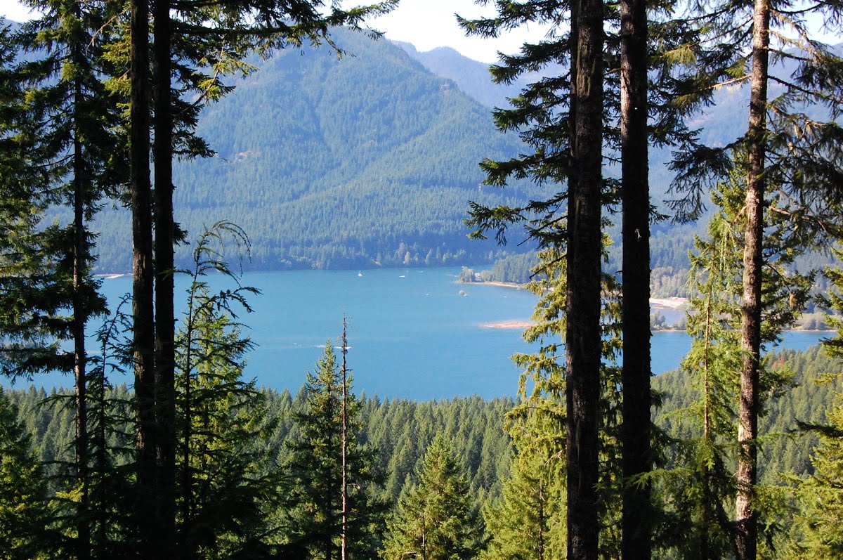
We cycled today from a pretty resort town, Sunriver, to the tiny town of Crescent Lake. The distance: 53 miles. The terrain was mildly undulating so we climbed about 1500 feet along the way with a net increase perhaps a third of that. Traffic was light until the last few miles (along Hwy 58). For much of the way, there was an excellent road surface and a great shoulder, although both of those features weren't consistently present. The scenery was unremarkable: pine forest, an occasional lake in the distance, a ridge of lava, and a few glimpses of the mountains. There were almost no services over the whole ride (hence, seeing a sign for a market was special enough to photograph!). This is the state of central, rural Oregon, I suppose.
The motel where we stayed was on the main highway: a very nice room in the middle of nowhere! We drove 3 miles to the lake and enjoyed a pleasant dinner on the waterfront.

Sunday, August 12, 2012

Mt. Bachelor

The cycling agenda for today: Tumalo to Sunriver, via Bend and up toward Mt Bachelor. The ride was almost 45 miles and included roughly 3000 feet of climbing. What made it challenging was the very warm weather (peak temperature in the low 90s), the complete lack of shade, the absence of any breeze, and the black pavement. The road surfaces were excellent and the shoulders wide. And once we reached the crest (about 3 miles below Mt Bachelor) and turned off toward Sunriver, the traffic was delightfully light. What would have been a very nice ride on a good weather day became a bit of a grind today because we aren't acclimated to riding in this heat.

Saturday, August 11, 2012

McKenzie Pass

On Friday, I returned to the (bike) saddle and rode the 57 miles from Detroit to Sisters. The first 37 miles was almost entirely uphill (!), climbing close to 4000 feet. Mostly the grade was very gentle, but the final 3 miles to the Santiam Summit was tough. The hardest part of the ride was the traffic — unrelenting passes by multiple cars, trucks, and motorhomes, in the range of 5-10 per minute, typically traveling 55-60 mph. The shoulder was narrow, often too narrow for comfort. Often, when I saw a big vehicle in my mirror, I pulled off the shoulder into the cinders to stop and wait for the traffic to pass. We all made it safely, but the hypervigilance was tiring.
Today is a rest day in Sisters. Ingrid and I took the sag car out this morning for a drive up to McKenzie Pass, about 15 miles to the west along Hwy 242. The pass is a lava field with fantastic views all around, especially from this intriguing observatory built from lava stones. Shown here are the views we had of the Belknap Crater (picture 2), Mt. Washington and Mt. Jefferson (picture 3), Black Butte (picture 4) and North and Middle Sister (picture 5).

Detroit (OR)

On Thursday, I sagged again. There was a snafu with our reservation the previous night in Government Camp so we stayed at The Resort about 12 miles to the west. My day began with driving Ingrid, John, and Alison back to Government Camp for the start of their 70 mile ride. Later, I drove to Detroit. After checking in at our motel I found a pleasant hike that climbed 1300 feet over 2.5 miles through the woods above the lake and ended with a great view of Mt. Jefferson to the east (Elev 10,497 feet).

Thursday, August 9, 2012

Mt. Hood

On Wednesday, traveled from Hood River to Government Camp, starting on the north side of Mt. Hood, swinging around the east, and finishing on the south. There were great views of the mountain all along the way.