[We just returned from an 8-day self-contained ride starting in Colma (near San Francisco) and ending at the Santa Barbara airport. I'll be posting daily blog updates, one week after the events depicted. The reason for the delay: I didn't carry a computer with me on the trip.]
The first day's ride started from the BART station in Colma, where we met Alison who has planned the route and would guide us through the first few days. The day was cold and foggy, although the sun did appear in the afternoon. The ride included a narrow-shouldered steep climb to the new tunnel at Devil's Slide. (The old road is now a fantastic walking/cycling route free from auto traffic.) We lunched at Half Moon Bay after first riding through the spectacular wildflower display in the nearby dunes beach. The afternoon included a visit to Pigeon Point lighthouse. The afternoon riding was a mix: long for a first day out, and a fair bit of climbing, but with a wonderful tailwind. We finished in the town of Davenport (population ~ 400), just north of Santa Cruz. Nice room and dinner at the Davenport Roadhouse. Cycling stats: 63.3 miles; 6:40 total elapsed time; 12.2 mph average riding speed.
 |
| Alison, Ingrid, and 3 bikes — ready to go! |
 |
| Cold, overcast, and foggy was the early weather. |
 |
| Early on, we have a challenging climb to Devil's Slide |
 |
| Ingrid and Alison are just visible on the trail at Devil's Slide |
 |
| Strange remnants of an old house? Near Devil's Slide. |
 |
| Delightful trail through Half Moon Bay State Beach |
 |
| The flowers were riotous. |
 |
| Approaching Pigeon Point lighthouse. |
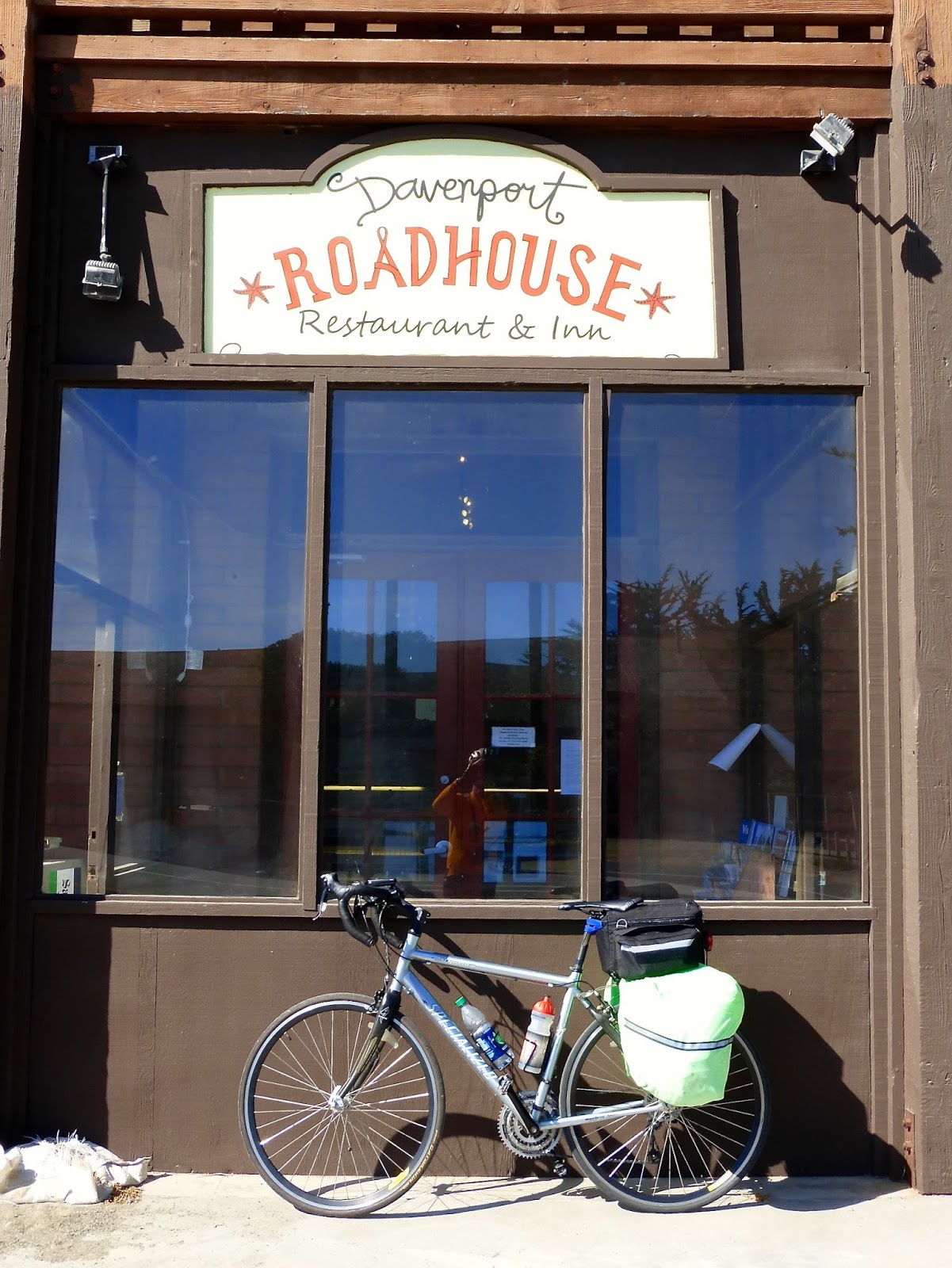 |
| Day 1 destination: Davenport Roadhouse. |


2 comments:
I'm glad you got to get a couple of days without your computer, but I'm so glad you're now belated blogging about your ride. I can't find mom and alison on the trail, but I do see your photographer's reflection in the last photo
Maybe I should have called it the road. But it's not open to auto traffic any more so it has become a multiuse recreational trail. Look at the paved surface that starts in the middle of the left side of the frame. You should just be able to make out the pink and then green highlights of the two riders before the pavement turns through the notch in the hillside.
Post a Comment