Tuesday, June 9, 2015

Day 6: Morro Bay to Pismo Beach

Almost a rest day, we started southward from Morro Bay then east along Los Osos Valley Rd. After reaching the SW corner of San Luis Obispo, we rode along frontage roads again southward to the coast, and then briefly along the coast to Pismo Beach.
I probably missed a good photo opportunity by not getting out of bed early enough in Morro Bay. Generally sunny, there was a low lying fog that just began to enshroud El Morro as I walked down for a look at 8 AM. Good light persisted in the Marina for a bit before a heavier fog settled over the town.
Pismo Beach was fun to explore. We checked in early to a great motel: Kon Tiki Inn. Our lunch stop in town was at Chipwrecked, which featured home made potato chips along with interesting sandwiches. We enjoyed pleasant walks along the pier and later on the beach. And, we discovered a terrific cinnamon roll bakery. Because we had been eating so much in recent days, and because we had not burned many calories on this day, we ended up splitting one (admittedly large) cinnamon roll for dinner.
Cycling stats: 25.5 miles; 2:20 elapsed time; 12.7 mph average cycling speed.
El Morro shrouded in a thin morning fog.
"Morning Light" at the Morro Bay Marina
Scene along Los Osos Valley Rd toward San Luis Obispo
Approaching Pismo Beach
At the Kon Tiki Inn, all rooms have lovely ocean views.
Pelican on the Pier
Footprints on Pismo Beach
Rocky cliffside along Pismo Beach.
Decorative building wall in the heart of town.

Monday, June 8, 2015

Day 5: Ragged Point to Morro Bay

Today featured the fairest weather on the whole trip: sunny for the entire ride plus favorable tailwinds aiding us on the second half. There were several distinct riding segments: (i) continuing along the rugged central California coast, but across a broader plain, to San Simeon; (ii) following a more inland highway with a broad paved shoulder (hurray!) toward Cambria; (iii) roads through Cambria to bypass a busy (freeway?) section of Hwy 1; (iv) long, fast run on a broad, well paved shoulder through a valley to Cayucos; and (v) navigating city streets and urban bikeways around the bay's edge and into the city of Morro Bay.
Along the way, we stopped to see a large herd of elephant seals near San Simeon. We ate lunch at a deli along the very pleasant Main Street in Cambria. After settling in to our motel relatively early (3 PM), we walked out to El Morro and along the Embarcadero before enjoying an early dinner at a waterfront restaurant.
Cycling stats: 44.9 miles; 6:15 elapsed time; 13.9 mph average speed.
View north shortly after leaving Ragged Point.
Skinny shoulder for the early morning became better later.
Lighthouse at Piedras Blancas
Elephant seals on the beach near Piedras Blancas.
Small town of San Simeon close to Hearst Castle.
Coastline is more attractive under sunny skies than beneath clouds.
This bobcat took no notice of a large bird harassing him.
Cambria impressed us as a nice town.
View of El Morro from Cayucos.
Imposing stacks of the electricity station at Morro Bay.
Town of Morro Bay viewed from El Morro.

Sunday, June 7, 2015

Day 4: Big Sur to Ragged Point

This day was the climax of the ride, both in terms of spectacular scenery and for the riding challenge. In all, the day featured almost 5000 feet of climbing, mostly in three long stretches, one leaving Big Sur at the start and the other two just before arriving at Ragged Point at the end. Contributing to the challenge was the very small (sometimes nonexistent) shoulder for riding. There was always a white stripe to define the shoulder, but the pavement to the right of the stripe was typically less than a foot wide and sometimes disappeared altogether. Uphill in curvy areas, cars traveled slowly as did we, so it felt safe enough. Downhill, we could take over the full lane, using our rear view mirrors to guide when to pull over and let cars pass. On straight flat patches, cars could see far enough down the road to wait to safely pass pulling over; but often they didn't wait and occasionally came too close to us for comfort. We made it through safely, but the required constant vigilance distracted from fully enjoying the scenery.
We made three long stops during the day: Julia Pfeiffer Burns State Park (scenic view of a waterfall onto the beach); Lucia (lunch); and to repair Ingrid's flat tire (appears to have been a pinch flat, perhaps from an underinflated rear tire?).
Our stop for the night, at Ragged Point Inn, was spectacular. Lovely rooms with outstanding views from a bluff overlooking the Pacific. Beautiful gardens. And a light-filled restaurant where we enjoyed a great dinner that evening and a very good breakfast the following morning.
Cycling stats: 50.5 miles; 8:00 elapsed time; 10.6 mph average speed.
Looking north from Julia Pfeiffer Burns State Park
Note the width of the paved shoulder; this was typical.
The extraordinary waterfall at Julia Pfeiffer Burns State Park
Lucia was the midway point; we stopped for lunch here.
Creative solution to avoid persistent rockfall on the roadway.
The only flat tire on the trip occurred just after lunch.
Approach to Ragged Point.
View north from Ragged Point.
The light-filled restaurant at Ragged Point Inn.
Great beam of light piercing the gray sky.

Saturday, June 6, 2015

Day 3: Monterey to Big Sur

We rode along the Monterey Bay waterfront through Pacific Grove and then onto the 17-Mile Drive to Carmel. This scenery must be among the best in the world, although today's beauty was diminished by the gray skies and cool weather. At the lunch stop, we parted ways with Alison who headed back home as we began the rugged and scenic stretch of Hwy 1 that extends almost 90 miles from Carmel Valley to San Simeon. Being Saturday afternoon, the traffic was heavy. We coped with very narrow shoulders in places with soft soil just off the edge. Almost all of the drivers were courteous but a few behaved dangerously. The last miles were relatively easy leading into our stop at the Big Sur River Inn. Cycling stats: 45.2 miles; 5:45 elapsed time; 11.2 mph average speed.
Great start from Old Fisherman's Wharf, Monterey
Sea lions just hanging out.
John Cerney Mural, Cannery Row
Waterfront on the north side of Pacific Grove
Near Pebble Beach
Lone cypress
Carmel-by-the-Sea
Rock bridge near Rocky Creek
Rocky Creek Bridge (1932)
Little Sur River draining into the Pacific Ocean
Big Sur River Inn
Cooling our heels in the Big Sur River.

Friday, June 5, 2015

Day 2: Davenport to Monterey

Highlights of day 2 included riding along the coast in Santa Cruz and Capitola plus a long pleasant ride through the Fort Ord Dunes park. Navigation from Santa Cruz to Moss Landing was difficult — hard to imagine how we would have found our way without Alison's guidance. The sun came out for an hour or so during a delightful late lunch stop at Phil's Shack in Moss Landing; otherwise the skies were gray. We caught a sidewind/headwind for much of the afternoon. Slow navigation plus moderately high mileage and headwinds conspired for a bit of a late arrival at our Monterey hotel. Cycling stats: 62.4 miles; 8:00 elapsed; 11.2 mph average riding speed.
The Boardwalk at Santa Cruz
Coming into Capitola
Colorful calla lilies near Watsonville
Love the trees!
Our first taste of freeway riding (not our last, though).
The trail into Monterey includes 4 miles through Fort Ord.
Turning the corner to the west, Monterey comes into view.

Thursday, June 4, 2015

Day 1: SF (Colma) to Davenport

[We just returned from an 8-day self-contained ride starting in Colma (near San Francisco) and ending at the Santa Barbara airport. I'll be posting daily blog updates, one week after the events depicted. The reason for the delay: I didn't carry a computer with me on the trip.]
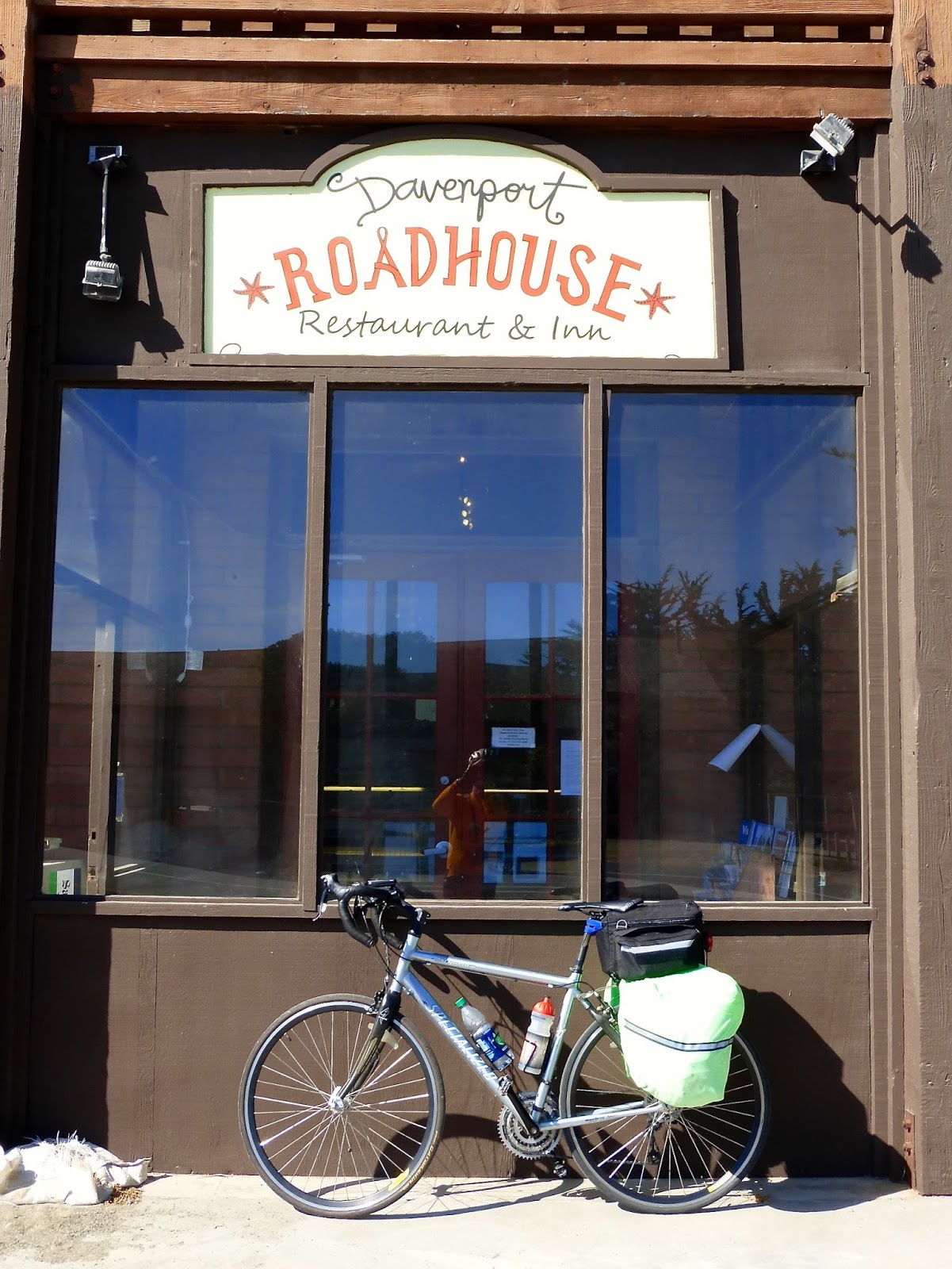
The first day's ride started from the BART station in Colma, where we met Alison who has planned the route and would guide us through the first few days. The day was cold and foggy, although the sun did appear in the afternoon. The ride included a narrow-shouldered steep climb to the new tunnel at Devil's Slide. (The old road is now a fantastic walking/cycling route free from auto traffic.) We lunched at Half Moon Bay after first riding through the spectacular wildflower display in the nearby dunes beach. The afternoon included a visit to Pigeon Point lighthouse. The afternoon riding was a mix: long for a first day out, and a fair bit of climbing, but with a wonderful tailwind. We finished in the town of Davenport (population ~ 400), just north of Santa Cruz. Nice room and dinner at the Davenport Roadhouse. Cycling stats: 63.3 miles; 6:40 total elapsed time; 12.2 mph average riding speed.
Alison, Ingrid, and 3 bikes — ready to go!
Cold, overcast, and foggy was the early weather.
Early on, we have a challenging climb to Devil's Slide
Ingrid and Alison are just visible on the trail at Devil's Slide
Strange remnants of an old house?  Near Devil's Slide.
Delightful trail through Half Moon Bay State Beach
The flowers were riotous.
Approaching Pigeon Point lighthouse.
Day 1 destination: Davenport Roadhouse.